Why Your Addition Plan Needs a Professional Survey, Not a Sketch
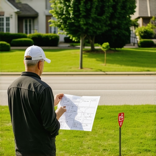
It was a frustrating weekend when I finally decided to sketch out my dream home addition only to realize I had no idea if my plans fit within the property lines, zoning codes, or the existing structures around me. That lightbulb moment hit hard—what I needed wasn’t just a rough drawing or an internet template, but a professional survey that truly mapped out the land and its quirks. This mistake nearly cost me thousands in delays and redesigns. Today, I want to share why skipping the professional survey on your project could be a costly misstep, and how getting it right early on sets the stage for smooth sailing.
The Critical Role of Accurate Land Data in Your Building Project
Imagine trying to navigate a busy intersection with a blurry map—that’s what it feels like to proceed with a construction project without proper land surveying. A professional survey isn’t just about drawing lines; it’s about capturing precise measurements, identifying property boundaries, easements, and potential obstacles that could derail your plans. Early in my project, I thought a quick sketch from a site photo would suffice. It didn’t. Not only was the sketch inaccurate, but it also missed critical easements, which are rights others have to use parts of your property—for example, for utility lines or drainage.
According to the American Society of Civil Engineers, 80% of construction delays are attributed to insufficient land data. That statistic was a wake-up call for me, emphasizing the importance of investing in a detailed survey before breaking ground. Skipping this step might save a few hundred dollars initially, but the risks of miscalculations, setbacks, or legal issues are much costlier.
Have you ever faced the frustration of realizing after starting construction that you were encroaching on a neighbor’s property or violating a setback? Or maybe you’ve wondered if your planned addition would block a view or impact existing drainage? These are common worries—yet many homeowners overlook the need for an accurate survey until it’s too late.
Early on, I made the mistake of relying solely on assumptions and informal measurements, which led to significant rework. Trust me, it’s far better to get a survey done at the start. It not only clarifies your boundaries but also helps with permit applications, ensuring your project aligns with local regulations. For detailed guidance on navigating permit processes and avoiding similar pitfalls, check out [our comprehensive permit understanding guide](https://constructionedgez.com/understanding-permit-processes-for-successful-home-additions).
Next, we’ll dive into how a professional survey isn’t just a bureaucratic requirement but a strategic tool that can save you time and money—so stick around if you’re serious about a hassle-free addition.
Hire a Qualified Land Surveyor from the Start
Begin by sourcing a licensed land surveyor experienced in residential projects. I once thought a generic online map would suffice; however, hiring a professional revealed critical boundary lines I couldn’t see. This prevented future disputes and potential legal issues, saving time and money.
Prepare Your Property for the Survey
Clear the area around your property of debris, vehicles, and obstacles that could hinder the surveyor’s equipment. Mark the corners of your property with visible stakes if they aren’t already well-defined. Doing this accelerates the process and ensures accuracy.
Understand the Survey Process
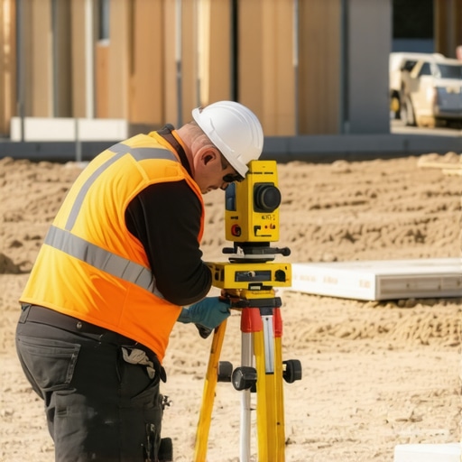
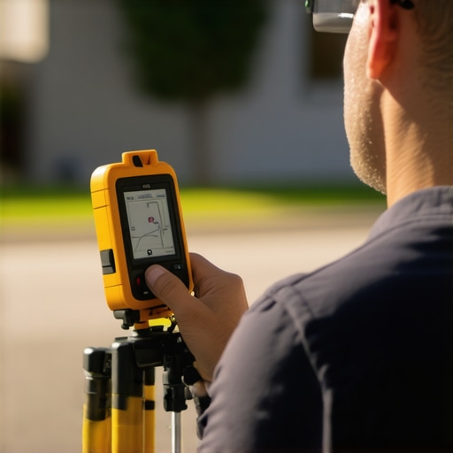
Coordinate with your surveyor to comprehend their method—whether they use GPS, total stations, or drone technology. Each has strengths; for example, GPS is quick for perimeter measurements, but a total station provides detailed local data. This knowledge helps you anticipate the timeline and any additional requirements.
Confirm Property Boundaries and Restrictions
The survey will define property lines precisely, including easements and setbacks. I once thought my deck was outside the boundary, only to find it encroached by a utility easement. This oversight could have led to costly modifications. Always review the survey results carefully and cross-reference with existing property documents.
Integrate Survey Data into Your Planning
Use the survey to inform your design, ensuring your addition stays within permitted zones. Share the survey with your architect or designer for accurate drawings. For guidance on how this impacts permit applications, visit this guide.
Document and Store Your Survey
Keep copies of the survey report for permit submissions and future reference. Having detailed land data can streamline negotiations with contractors and facilitate compliance inspections, reducing delays during construction.
Beware of the Cost and Timing
Professional surveys can range from a few hundred to over a thousand dollars depending on property size and complexity. Plan accordingly, and factor this into your overall project budget. While it might seem like an extra expense, the accuracy gained minimizes costly revisions later—an investment with tangible returns.
< >Many homeowners and even some builders believe that accurate estimation is simply a matter of crunching numbers and adding a contingency. However, in my experience, there’s a crucial nuance that often gets overlooked: the relationship between initial estimates, permit complexities, and project scope clarity. Oversimplifying this relationship can lead to costly overruns and permit delays. For example, a common myth is that a detailed quote guarantees smooth approval—that’s not always true. Sometimes, estimates are accurate yet ignore the permit intricacies, such as zoning restrictions or obscure jurisdictional requirements. Failing to account for these nuances can stall your project, incur additional expenses, and erode trust with contractors and inspectors.
A key mistake I see is assuming that the lowest bid or estimate reflects the true cost and effort. This trap often arises because many estimates are based on incomplete data or overly optimistic assumptions about permit processes. For instance, a project might be estimated at a certain cost, but unanticipated permit requirements, like tree protection zones or historic district restrictions, can add significant time and money. To avoid this, I recommend collaborating directly with professionals experienced in local permitting—whether that’s a seasoned contractor or a knowledgeable land surveyor. They can help identify permit pitfalls early, as outlined in our guide on [permitting for new builds](https://constructionedgez.com/permits-for-new-builds-essential-tips-for-your-project).
Another advanced mistake involves underestimating the impact of code updates or jurisdictional changes. Building codes and zoning regulations evolve, sometimes faster than project timelines. Ignoring recent amendments can invalidate permits or force redesigns. A study by the Urban Land Institute highlights that up to 30% of permit delays stem from regulatory updates missed during the planning phase. Therefore, staying informed and proactive about these nuances is essential for budget consistency and timeline adherence.
How can you predict permit challenges before they derail your project?
This requires understanding local regulatory landscapes intimately. Connect with local authorities or consult experts early to clarify potential hurdles. Review zoning maps, ordinance updates, and historic district restrictions meticulously. Incorporating this knowledge into your initial estimation process prevents surprises that cause delays or budget overruns. Remember, a well-informed estimate isn’t just about numbers; it accounts for the permit terrain—its rules, quirks, and potential obstacles. For more insights, see our article on [mastering new build estimating](https://constructionedgez.com/mastering-new-build-estimating-essential-tips-for-success).
Ultimately, embracing these nuanced considerations enables you to craft more reliable estimates, navigate the permit maze efficiently, and keep your project on track. Have you ever fallen into this trap? Let me know in the comments.
Invest in Reliable Software for Project Coordination
Personally, I rely heavily on Buildertrend for managing schedules, budget tracking, and client communication. Its cloud-based platform allows me to keep all project details accessible from anywhere, reducing errors caused by miscommunication. The ability to generate real-time reports ensures I stay on top of deadlines and costs, which is crucial when juggling permits, estimations, and inspections.
Use Laser Scanning for Precise Measurements
Flying a drone with a high-precision laser scanner, like the Leica BLK360, has revolutionized how I verify site conditions throughout the project lifecycle. It creates detailed 3D models that help me detect deviations early, avoiding costly rework. As technology advances, integrating these scans into CAD software streamlines updates to plans, ensuring everything fits within regulatory and structural requirements.
Regular Site Inspections with Digital Tools
Maintaining project momentum requires consistent on-site oversight. I recommend using rugged tablets equipped with apps like PlanGrid or Fieldwire. They allow me to check off tasks, annotate issues, and upload photos instantly. This instant documentation proves invaluable during permit reviews and resolving disputes, ultimately saving time and money.
Predicting Future Maintenance with Monitoring Equipment
Long-term results depend on proactive maintenance. Installing sensors like SmartLeaks for plumbing or Nest Protect smoke detectors during construction can alert homeowners to issues early, preventing damage and ensuring the building stays in compliance over time. As smart-building technology continues to evolve, integrating these systems will become standard practice, helping maintain the integrity of the build for decades to come.
How do I keep my project on track over time?
Developing a comprehensive maintenance plan that incorporates routine inspections, sensor data, and software updates is essential. Regularly reviewing site data and updating your tools ensures ongoing compliance and performance. For example, scheduling annual drone surveys can detect structural shifts before they compromise safety or permit status. Embracing these proactive approaches ensures your investment remains protected in the long run. For more insights on optimizing your project management, visit this resource.
To get started, try integrating laser scanning into your site verification routine. It has dramatically improved accuracy and reduced delays in my projects, and I believe it will do the same for you.
3 Unexpected Truths I Discovered About Estimating and Permitting That Changed Everything
One of the most eye-opening lessons I learned was that even the most detailed initial estimates can be way off if permit requirements and local regulations aren’t fully understood from the start. I once underestimated the complexity of a simple addition, and it ended up costing me thousands in unexpected permit fees and redesigns. Ensuring a comprehensive understanding of the permit process early on is not just a bureaucratic step—it’s a strategic move that can save your project from costly surprises.
Another insight came from realizing that technology, when used wisely, can dramatically improve accuracy and communication. Laser scanning and project management tools like these solutions help me visualize site constraints and keep everyone on the same page, reducing errors that often lead to delays. Embracing digital tools early on transforms guesswork into certainty, especially when navigating complex permit landscapes.
A final lesson I wish I knew sooner is that understanding nuanced land data—property boundaries, easements, and setbacks—is essential. Relying solely on rough measurements or assumptions can lead to encroachments or violations that are costly to fix. Collaborating with a licensed land surveyor can uncover these hidden boundaries, preventing future legal and structural issues. This proactive step ensures your addition aligns perfectly with existing land conditions and regulations.
My Top Picks to Keep Your Home Addition on Track
To make informed decisions, I lean on resources like expert guides that break down complex permitting and estimating processes into manageable steps. Software like estimating tools help me refine my budgets, while trusted industry reports keep me updated on regulatory changes, avoiding costly missteps.
Consulting directly with seasoned professionals—whether surveyors or permit specialists—has been invaluable. They uncover permit pitfalls I might overlook and streamline approvals, saving time and money. Combining tech with expert advice creates a safety net that supports your project’s smooth progression.
Your Turn to Take the Next Step
Remember, every successful home addition starts with the right knowledge and tools—don’t wait until surprises pop up. Dive deep into understanding your land, leverage modern technology, and collaborate with experts committed to your goals. Your dream project is within reach if you approach it with informed confidence and proactive planning. What’s your biggest challenge right now in estimating or permitting your home addition? Share your experiences below—I’d love to help you find solutions!
,