The Surveying Error That Leads to Encroachment Lawsuits
Here’s a moment I won’t forget: I was halfway through a new backyard extension when I realized I’d built it a few inches over the property line. That sinking feeling hit me hard. It was a close call, but more importantly, it was a wake-up call. Many homeowners and contractors fall into this trap, and the fallout can be costly—legal disputes, permits retractions, or even forced demolitions. But here’s the good news: knowing the precise surveying details upfront can save you from sleepless nights and expensive fixes.
The Hidden Pitfall That Causes Encroachment Issues
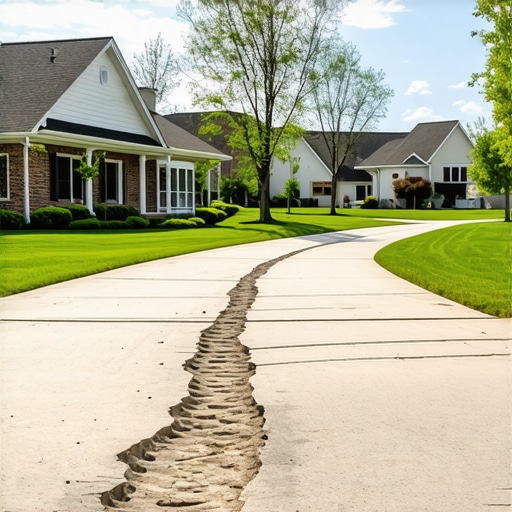
One of the most overlooked mistakes in property development is misreading boundary lines due to surveying errors. These errors often stem from outdated or improperly conducted land surveys, leading to encroachment on neighboring properties and, subsequently, legal disputes or permit rejections. A 2022 survey by the National Association of Home Builders revealed that nearly 30% of property disputes originate from inaccurate boundary assessments. That’s a staggering figure that highlights how critical proper surveying is to a smooth project.
Have You Faced the Frustration of a Rejected Permit Because of Boundary Confusion?
I learned this lesson early on, making a costly mistake by trusting the initial survey report without double-checking. This oversight nearly cost me my permit, with delays that set my project back weeks and added unforeseen costs. If I’d taken the time to verify the survey details myself or with an expert, I might have avoided the whole ordeal. That’s why I urge homeowners and contractors alike to understand this common surveying error and learn how to sidestep it.
In the following sections, we’ll explore practical ways to prevent boundary miscalculations, including best practices for land surveys, how to communicate effectively with surveyors, and the importance of verifying property lines before breaking ground. Ready to ensure your project is on the right side of the law? Let’s get started.
Start with Precise Land Surveys
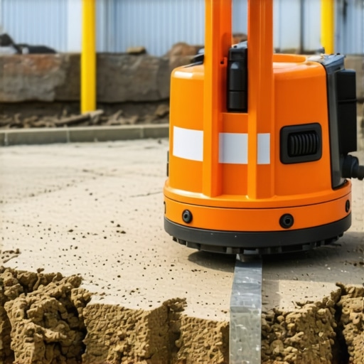
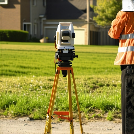
My first real breakthrough came when I hired a licensed land surveyor to redo my property lines after a close call on encroachment. I provided them with my title deed, property deed, and existing survey data. During the survey, I watched as they identified subtle boundary inconsistencies using state-of-the-art equipment. This step was invaluable; it uncovered discrepancies that could have caused legal headaches if ignored. To ensure accuracy, always verify that your surveyor uses modern tools like robotic total stations or GPS-based systems. Don’t rely on outdated maps or previous measurements that could be obsolete. For peace of mind, confirm the survey’s bounds against official documents or consider requesting a Boundary Line Certification. This initial step reduces the risk of costly boundary disputes later. If you’re uncertain, reaching out to a professional landscaper or construction expert can help interpret survey data effectively. For more detailed guidance, learn how to verify land survey accuracy.
double-Check Property Records Hard and Fast
Next, I accessed county records and land registry databases. I knew that official records could sometimes be outdated or incomplete, so I compared these with my survey data. Through this, I identified discrepancies in lot dimensions and setbacks that could influence construction plans. To do this yourself, visit your local land records office or check their online portals. Look for deeds, previous survey plats, or easements that might affect your property footprint. Don’t forget to scrutinize any recorded encroachments, access rights, or utility easements, as these can subtly alter usable space. When ambiguities arise, it’s wise to request a formal review from your local planning department or hire a property attorney. Having trustworthy records saves you from surprises and ensures compliance with local zoning laws. For a thorough understanding, see permit process insights here.
Communicate Clearly with Your Surveyor and Authorities
I learned that establishing open, ongoing communication with professionals makes all the difference. During my project, I scheduled a site visit with my surveyor to go over boundaries jointly. I brought along previous plans, property title, and my project blueprint. This interaction clarified potential issues early and fostered trust. When working with surveyors or local officials, always ask detailed questions about boundary interpretations, survey methods, and future compliance checks. Document all conversations and request written confirmations of boundary points. This proactive approach minimizes misunderstandings and keeps your project moving smoothly. Remember: If you encounter resistance or conflicting information, don’t hesitate to reach out to an independent surveyor or land planner. Visit our contact page for expert help if needed.
Verify Lines Before Breaking Ground
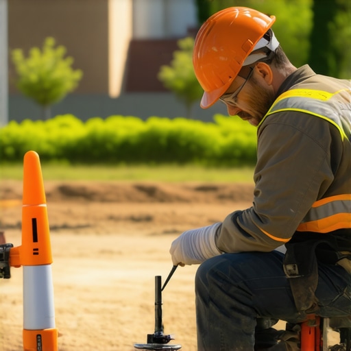
Time was tight, and I almost started construction before verifying my new property boundary points. Luckily, I paused and personally reviewed the latest survey data. Using stakes and visible boundary markers, I confirmed the placement against official markings. This step prevented me from accidentally encroaching or violating setbacks. As a best practice, always double-check boundary markers immediately before excavation. Employ string lines or spray paint to outline potential build zones, then compare these with survey markers. If any lines seem off, consult with your surveyor to correct errors. This simple verification can save weeks of delays or costly fines. To streamline your process, consider scheduling a formal boundary re-marking service if your project is extensive. Also, review local ordinances to ensure setback requirements are met. For detailed strategies, see permit tips here.
When it comes to new construction projects, many assume that following standard procedures ensures success. However, beneath the surface lie nuances that can trip up even seasoned homeowners and contractors. One common myth is that initial estimates are set in stone; in reality, they often require rigorous validation through comprehensive research and expert consultation. Relying solely on preliminary budgets without cross-referencing current market data or recent permit trends can lead to significant cost overruns. For example, a study by the Urban Land Institute highlights that up to 40% of project delays stem from underestimated or overlooked permit complexities, emphasizing the importance of detailed upfront planning.
A frequent mistake is assuming permit approval processes are uniform across jurisdictions. In truth, local agencies frequently update their regulations, and what worked last year might now be obsolete. This is where advanced knowledge of recent policy shifts becomes critical. For instance, some municipalities have introduced new setback or height restrictions that directly impact project scope. Contractors who aren’t aware of these changes risk costly redesigns or permit rejections. To stay ahead, regularly review authoritative sources like latest permit requirements and consider consulting industry experts to interpret local nuances.
An often-overlooked nuance is the significance of accurate soil testing. While many focus on design and materials, neglecting proper geotechnical assessments can compromise foundation choices, leading to future structural issues. The Federal Highway Administration stresses that soil variability can substantially alter estimated costs and timelines if not accurately accounted for from the outset. This advanced step helps prevent the “oops” of unexpectedly high foundation or drainage expenses.
Another trap arises from over-reliance on generic estimation tools. Although software like cost calculators assist, they often lack the flexibility needed for unique project conditions. Experienced builders combine these tools with on-the-ground insights and real-time data collection. For example, adjusting estimates based on recent supplier price fluctuations or local labor availability can preserve budget integrity.
Have you ever fallen into this trap? Let me know in the comments. Remember, the devil is in the details—mastering these hidden nuances can save your project from costly delays and permit headaches, turning your build into a smooth success story.
Maintaining a home project over time requires more than initial planning; it demands reliable tools and methods to ensure longevity and efficient scaling. In my experience, investing in the right equipment and software can dramatically reduce troubleshooting time and prevent costly repairs down the line.
Leveraging Precision Measuring Instruments
One tool I swear by is the Laser Distance Meter. Unlike traditional tape measures, my Leica DISTO provides instant, highly accurate readings up to 200 meters. I use it regularly to verify expansion joints, wall alignments, and roof pitches. This consistency has helped me identify subtle shifts early before they become structural issues. As technology advances, these devices now come with Bluetooth connectivity, allowing direct data export to project management apps, streamlining documentation. In the future, expect even more integration with AR and IoT devices to facilitate real-time home monitoring.
Efficiency Through Software Solutions
For managing long-term maintenance and scaling, I rely heavily on sophisticated software like Construction Edge’s estimation tools. These platforms enable me to track material wear, schedule periodic inspections, and forecast future expenses based on historical data. When combined with a mobile app version, I can update status reports on-site immediately. This proactive approach helps prevent unexpected breakdowns in systems like HVAC, plumbing, and electrical wiring, which are critical for home livability and compliance. As home systems become smarter, I expect AI-driven predictive maintenance to become mainstream, further reducing manual checks.
Implementing Preventive Maintenance Protocols
Regular inspections are key to keeping everything working smoothly. I schedule quarterly maintenance checks using a customized checklist tailored to my property’s features. This includes inspecting roof shingles for wear, testing sump pumps, and checking for mold or pest signs. A practical tip I picked up from industry experts is to document every inspection with photographs and notes, building a maintenance history that can alert me to patterns or recurring issues. Over time, this record becomes invaluable for scaling projects to new areas or upgrading existing systems efficiently.
How do I maintain quality over the years?
To preserve durability and performance, I also invest in reliable tools like a power washer with variable pressure controls for exterior cleaning without causing damage. Using eco-friendly cleaning solutions ensures longevity for surfaces and plumbing fixtures. Additionally, I utilize cost estimation software to plan for future upgrades, ensuring budget accuracy and preventing overinvestment. The key is to stay proactive, anticipate wear, and adapt technology as it evolves. The trend points toward integrated smart home systems that self-diagnose issues, which I believe will be a game-changer in long-term maintenance.
For those seeking immediate improvements, I recommend trying out a digital maintenance log combined with an automated reminder system. It’s a small step with significant benefits, helping you stay ahead of potential problems before they impact your home’s performance.
Surprising my Worst Assumption Nearly Cost Me Thousands
One of the most humbling lessons I learned was during my first big build—assuming that the old survey data was still accurate. That false confidence led me to overlook recent updates, which resulted in minor encroachments and months of bureaucratic delays. This taught me the hard way that even trusted documents can become outdated. Regularly verifying property boundaries with a current survey can save you from unexpected setbacks and costly corrections.
Why Smart Builders Double-Check Before Breaking Ground
Early on, I believed that a quick site visit with stakes was enough to confirm boundary lines. That was a mistake. Precise property line verification requires professional equipment, like GPS-enabled total stations, to detect subtle discrepancies. Investing in accurate surveying tools and cross-referencing with official records prevented potential legal battles. Remember, a small investment upfront can protect your entire project.
How Poor Communication Can Derail Your Project
One overlooked factor I faced was assuming that surveyors and authorities would interpret boundaries identically. Open dialogue—asking detailed questions about methods, markers, and future compliance—proved invaluable. Joint site visits and written confirmations eliminated misunderstandings. Effective communication ensures everyone stays aligned, keeping your project on schedule and within legal bounds.
Double-Checking Foundations and Markings Saves Time and Money
Before commencing construction, I personally re-verified boundary markers with recent survey data. Using string lines aligned with official markers allowed me to catch discrepancies early. This simple step prevented potential violations, fines, or redesigns. When your build is extensive, consider boundary re-marking services and always review local setback requirements to avoid surprises.
Beneficial Insights from My Construction Chronicles
- Outdated surveys are a silent hazard: Always verify land records against current surveys, especially after natural events or previous developments.
- Professional tools matter: Robotic total stations and GPS systems provide the accuracy needed for critical boundary work.
- Detailed communication saves headaches: Discuss survey methods and interpretation explicitly with your professionals.
- Personal verification is invaluable: A quick on-site check with markers and stakes can prevent actual violations during the build.
My Key Resources for Property Line Precision
- Robotic survey equipment reviews: Trusted for their accuracy and ease of use, they helped me catch subtle discrepancies.
- Permit process guides: Knowing recent local regulations prevented permit rejections.
- Latest permit requirement updates: Staying informed helped me avoid costly redesigns due to new rules.
- Consult with licensed land surveyors: Building a relationship with professionals ensured accurate boundary data and smooth project flow.
Your Next Step to Confidently Manage Property Lines
Understanding how to accurately verify your property boundaries isn’t just about avoiding legal trouble; it’s about building confidently. Invest in current surveys, communicate openly with experts, and verify markers on-site—these simple practices can transform your building experience from stressful to successful. Don’t wait for surprises; take control today and lay a solid foundation for your project’s future.
Have you ever discovered a boundary issue just before starting construction? Share your story below—I’d love to hear how you handled it!